

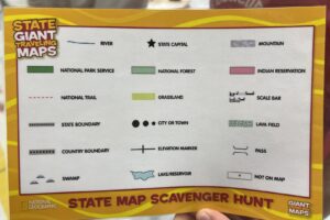
The fourth grade has been working on map skills in social studies. They have learned about parts of a map, such as the map key and the symbols on it. The students have recently been working on a project in which they were creating a trip around New Hampshire. They learned about each of the state’s regions. Then the students used pamphlets from around the state and they picked one man made attraction and one physical attraction for each of the seven regions.
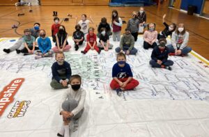
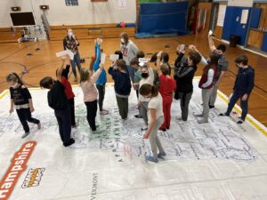
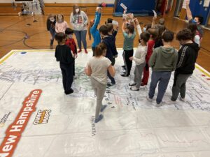
They were able to use New Hampshire’s Giant Traveling Map and try out some of the things that they have been learning. The New Hampshire historical society coordinates this program that brings a giant floor map of the state into libraries and classrooms. On the large map, they took time to search for these symbols with groups, have a scavenger hunt and they found towns and lakes on the map, and named the region they were in. A very special thank you to Ms. Kelly for organizing this!
Please check out: https://moose.nhhistory.org/educators/NH-Giant-Traveling-Map and